Dates: December 8-9, 2020
Vehicle: 2020 Jeep Wrangler JK, Rubicon, stock
Permit: iSportsman via https://luke.isportsman.net
Resource: A Visitor’s Guide to El Camino del Diablo (2016)
I primarily used this resource as it could be downloaded and used offline. It was a bit convoluted to follow, but once you figure out the paging it was invaluable. I found this as a .pdf at Sierraclub.org
Overnight accomodations
Ajo – Sonoran Desert Inn & Conference Center, highly recommended
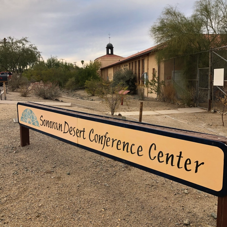
Yuma – national motel chain
Route:
Day 1 – Ajo to Tule Well to Wellton
Day 2 – Yuma to Tinajas Altas to Tule Well to Tacna

Day 1
The night before we arrived in Ajo and checked into the Sonoran Desert Inn & Conference Center, a delightful place to stay. This is operated as a non-profit, in a refurbished elementary school. The rooms are very comfortable and spacious. After a comfortable night we drove out of Ajo east to Darby Well Road to start the first part of our trip, starting a bit after 9 AM.
After driving through the Bureau of Land Management area, which allows dispersed camping, we entered the Organ Pipe Cactus National Monument. We did see a few of the iconic Organ Pipe cactus, mainly along slopes to the east. We bypassed Bates Well, we had spent time there last Spring. Well worth a stop and time spent exploring the structures.
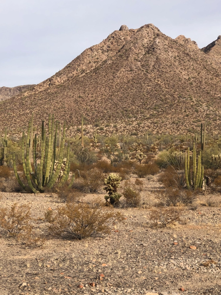
The road so far was well-graded and suitable for any 2 WD, as it remains up to the Cabeza Prieta National Wildlife Refuge (NWR) entrance. At the entrance sign is a sign-in stand which has permits to record your trip details, this is in addition to the permit you must secure online before starting the trip. That permit is a print out which is to remain on your dashboard and provides a permit number used for the permits (one per person) at the NWR entrance. The permit at the East entrance was more detailed than the one we completed the next day at the West entrance.

Once on the refuge the road became narrower, but still 2 WD. It wasn’t until we entered Las Playas, at mile 47 (from Darby Well Rd & AZ 85) that sand became deeper and 4 WD recommended. After any rain this section could be impassable, check with NWR staff before starting the route. A few days before they confirmed via e-mail the route was in good shape and passable in this area. The guide mentions the use of metal landing mats, we saw these off to the side of the road, never in the roadway. Shortly we entered the Pinacate Lava Flow, rough rocks, but nothing difficult to traverse, just slow down.
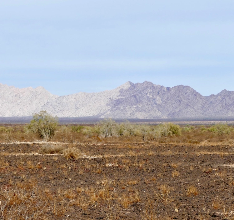
Near mile 50, looking Northwest you notice a mountain range where a light section meets a dark section, the Sierra Pinta. This is a geologic example of horst and graben, a fault line displaying one block up, one block down. The surrounding area also has some dramatic lava peaks. We stopped for lunch in a wash near mile 63.8. We had hoped to see bighorn sheep in the surrounding hills, but no luck.

At mile 66.8 an administrative road came in from the southeast and the road doubled in width and smoothed out. No research prepared us for this, a construction road for the Border Wall. Along with the new road came lots of large trucks and other vehicles. This continued all the way into Wellton and I-8. We stopped briefly at Tule Well to see the cabin built in 1989 by the military to commemorate the 50th anniversary of the NWR. Further along was a nice view of Tordillo Mountain.
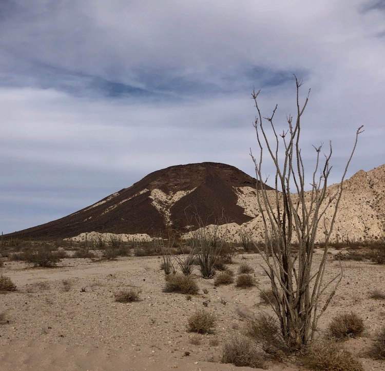
As we headed northwest to I-8 and left the Goldwater Military Range this sign gave the best history of El Camino del Diablo. We ended the day in Yuma, staying overnight in a motel.

Day 2
Starting from Yuma we went south on Foothills Blvd, entering the Western section of the Goldwater Military Range. Prior to starting I used the Visitor Guide to reverse the mileage, as the guide is written from east to west. We stayed along the pole line road, not taking the side trip to the Fortuna Mine, we’ll do that at another time.
After a straight shot south we turned east and began heading towards mountains. All along the southern edge of the road were signs warning us of unexploded ordnance. The best views were to the north, passing rugged hills of solid rock.

Along this stretch we saw one stationary mobile Border Patrol truck, but no other vehicles till we reached the other side of Tinajas Altas. Wooden posts mark the way, acting as confidence markers at various intersections, as well as a few small brown signs identifying El Camino del Diablo. The only question we had was at A13, but stopping and checking the guide kept us on the best path. Along this stretch there were quite a few sandy wash crossing, more washboard than yesterday and maybe one place where high-clearance was needed. The drive approaching Tinajas Altas was interesting as you couldn’t figure out where you were headed. Once at the pass we were surprised at how wide the area was between mountains on each side. It was a nice place to take a break after about 2 hours of driving.

East of here we quickly reached the wide construction road which took us back to Tule Well. We stopped here for quick bite of lunch before heading north to Christmas Pass.
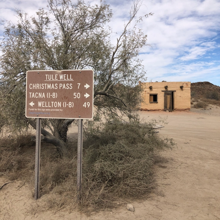
This route was popular over a century ago, considered to be the quickest route to reliable water along the Gila River. After driving the route I can’t imagine how they kept supplied with water along the way. This was a beautiful section, heading through some mining claims and shapely hills. You pass remains of camp from the 1940’s. Dan Drift lived out here and fashioned the road at Christmas Pass so he could get to Wellton for supplies. The next 2 miles were where 4 WD and high clearance were necessary. We saw no one else along this section until we turned the corner at Christmas Pass and saw a group of 5 OHVs and their riders enjoying lunch at the campground.
From here the road was a narrow wash bed that headed north to I-8, about 37 miles. As you approached the Mohawk Dunes at mile 30 the road became wide and more solid. The views along the drive were primarily of mountains in the distance and large expanses of creosote bushes roadside. One place worth stopping was for a very large Ironwood tree, I can only imagine how beautiful it would be when blooming in the spring.

The sand was never a concern for driving, in fact you still felt the washboard beneath. The guide book indicated you would turn left near mile 40 to head back west before reaching the on ramp for I-8. We missed that turn and literally came up to an open gate at the shoulder of I-8. As we were heading east, back to Tucson, we carefully entered I-8 there, no signs were present to indicate no entry or exit.
Overall the trip was excellent, two days of mid-70 degrees and no wind made for the best weather possible to enjoy the route. As other write ups reveal there are a number of sights along the way to stop and explore. As this was our first time having a vehicle we felt comfortable driving the routes we wanted to see what was there and where we would spend more time in the future.
A great place to practice physical distancing during the covid pandemic. Overall we probably saw 5 Border Patrol vehicles, 2 helicopters, maybe 3 other private vehicles, the OHV group and numerous construction vehicles. Before reaching the Las Playas a Border Patrol agent chatted with us while we were out of the car exploring O’Neill’s gravesite. He warned us they were tracking 8 migrants further up the road, that is where we saw 2 helicopters close to the ground flying in tight circles. It was well north of the road and didn’t affect our route. The only surprise of the trip was the developed construction road right in the middle of El Camino del Diablo.
We accomplished our goal of driving the different routes and are looking forward to return trips in the future.